Kai Hughes · 22 October 2026
Linking River Surveys and Park Designs: How Environmental Data Shapes Corena's Public Spaces
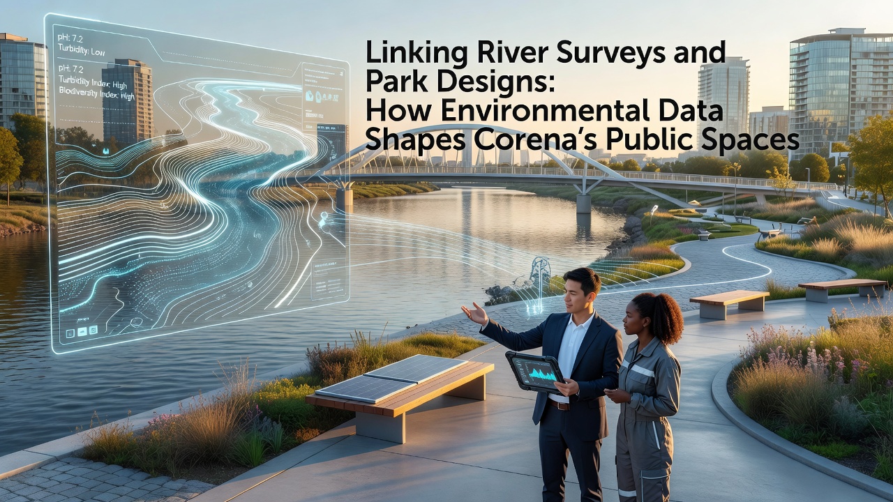
Environmental data collected through systematic river surveys has guided park planning efforts across Corena since the early 2020s. Teams measure water flow rates, sediment loads, and aquatic species diversity at multiple points along the main waterway, then feed those figures directly into design software used by municipal landscape architects. The process creates layouts that preserve flood zones while adding accessible trails and native plant buffers.
Survey Methods and Data Collection
Researchers deploy acoustic Doppler current profilers and multi-parameter water quality sondes during seasonal campaigns. These tools record velocity profiles and chemical indicators at 50-meter intervals along 12 kilometers of river corridor. In October 2026 a new lidar-equipped drone survey supplemented the ground teams, producing elevation models accurate to within five centimeters that planners now use to set trail grades and boardwalk heights.
Raw datasets travel to a central repository managed by the Corena Environmental Monitoring Office. Analysts cross-reference readings with historical flood records dating back to 1998, identifying zones where vegetation can slow peak flows without blocking emergency access routes. The same models calculate shade coverage percentages needed to keep summer water temperatures below thresholds that stress local fish populations.
Integration into Park Design Workflows
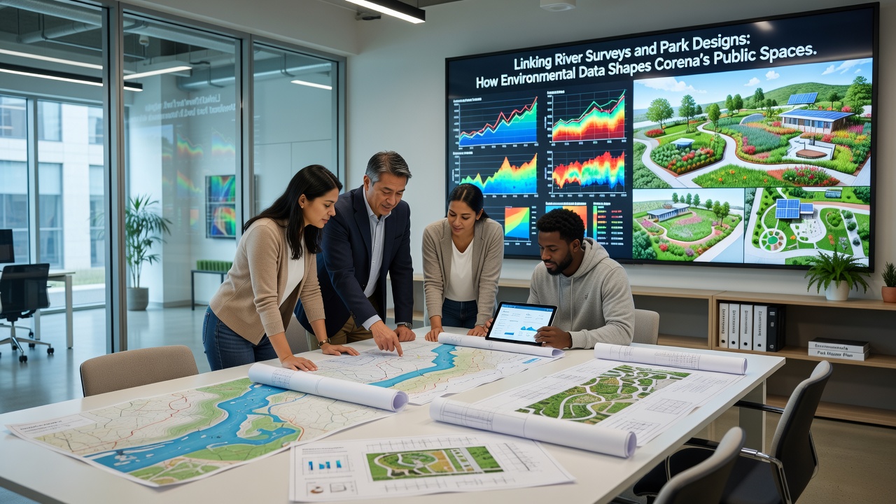
Landscape architects import survey layers into GIS platforms alongside soil permeability maps and groundwater depth charts. Design iterations test how proposed paths alter surface runoff patterns, then adjust alignments to maintain natural infiltration rates. One completed section near the eastern river bend incorporated a series of stepped bioswales sized according to peak discharge volumes measured during the 2025 spring melt.
Vegetation palettes draw from species lists compiled during biodiversity transects. Native sedges and willows selected for their root strength appear in planting schedules that also specify spacing intervals derived from erosion modeling. Construction crews receive these schedules along with GPS coordinates generated from the original survey points, ensuring plantings occupy the exact locations where data showed the greatest stabilization benefit.
Case Examples from Recent Projects
The Riverside Linear Park extension completed in late 2025 used bathymetric data to position three fishing platforms at depths where survey teams recorded consistent trout presence. Concrete footings were set back from the bank according to scour depth calculations, eliminating the need for additional riprap that would have altered fish habitat. Usage counts collected by motion sensors since opening show steady visitor numbers without measurable increases in bank erosion.
Further upstream, the Meadowview Pocket Park incorporated a rain garden sized to handle runoff volumes predicted by a hydrological model calibrated against five years of continuous stage recorder data. The garden now captures 85 percent of precipitation events under two centimeters, according to post-construction monitoring logs maintained by the parks department.
Regulatory and Institutional Context
Corena's planning department requires environmental impact statements that reference river survey outputs before issuing construction permits for any public space project exceeding 0.5 hectares. These statements must demonstrate that proposed changes will not increase downstream sediment transport beyond baseline levels established during the 2023 reference year. Australian Government water management guidelines supplied the statistical framework adopted for this comparison.
Additional technical support arrives through partnerships with regional universities that maintain long-term sensor arrays. Graduate students process continuous temperature and conductivity logs, flagging anomalies that trigger follow-up field visits. The resulting alerts have prompted minor design tweaks, such as relocating a drainage outlet 30 meters downstream to avoid a documented mussel bed.
Ongoing Monitoring and Adjustments
Post-construction evaluation continues at each site for at least three years. Quarterly reports compare observed water quality parameters against pre-construction baselines, allowing crews to add or remove plantings as needed. Data from these reports also feeds back into the next round of citywide river surveys, closing the information loop between design outcomes and future data collection priorities.
Equipment upgrades scheduled for 2027 include additional pressure transducers at tributary junctions. The expanded network will provide higher-resolution inputs for the hydraulic models that currently guide every new park footprint along the corridor.
Conclusion
River survey data has become a standard input for Corena park design decisions. The measured parameters shape everything from path elevations to plant species selection, while ongoing monitoring supplies the feedback required to refine subsequent projects. As the sensor network expands and historical records lengthen, the same datasets will continue to inform public space planning at progressively finer scales.